AidEnvironment Launches Social Forestry tracking website, in Ketapang, West Kalimantan

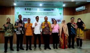
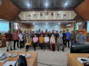
On Tuesday, 4 August 2022, AidEnvironment officially launched a social forestry website in partnership with the Government of Ketapang District in West Kalimantan, Indonesia. The launch event was held at the Ketapang Regent Office and was attended by representatives of the Village Forest Management Institution (Lembaga Desa Pengelola Hutan/LDPH), village government, Regional Apparatus Organization (Organisasi Perangkat Daerah/OPD), North Ketapang and South Ketapang Forest Management Unit (Kesatuan Pengelolaan Hutan/KPH), as well as members from other NGOs and civil society organizations.
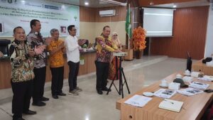
There was a symbolic pressing of the button by the Regional Secretary of Ketapang together with the Chairman of the Commission IV Regional People’s Representative Assembly (Dewan Perwakilan Rakyat Daerah/DPRD) in Ketapang and other representatives from the local government and Faculty of Forestry from Tanjungpura University, to celebrate the public launch of the website.
Through the use of Geographic Information Systems (GIS), the website aims to provide information on the distribution of social forestry initiatives in Ketapang. This can be seen through the maps presented on the site. It also includes additional information on potential commodities developed by Social Forestry Business Groups (Kelompok Usaha Perhutanan Sosial/KUPS) such as palm juice (nira enau), handicrafts, and palm sugar, among others.
What is social forestry?
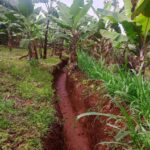
Social Forestry is a scheme regulated by the government to acknowledge communities who manage the forest. The idea is that forests can be managed more sustainably by giving local communities the legal access to do so. Local communities who manage the forest try to prevent any form of destruction from occurring because they reap economic benefits from the forest, which helps meet their daily needs. In addition, any form of business units generated in the forest will give the village additional income to conduct conservation and protection activities, such as reforestation.
Social Forestry schemes can take the following forms:
- Village Forest (Hutan Desa): managed by village cooperatives or village-owned enterprises;
- Community Forest (Hutan Kemasyarakatan): managed by community group or cooperative;
- Community Forest Plantation (Hutan Tanaman Rakyat): managed by individual or a group of cooperatives;
- Customary Forest (Hutan Adat): managed by indigenous communities;
- Forest Partnership (Kemitraan Kehutanan): managed together by license holders and a group of communities or cooperatives.
The legal basis of Social Forestry in Indonesia are Government Regulation 23/2021 and Environment and Forest Ministerial Decree no. 9/2021. The former acknowledges the social forestry scheme as a means of legal forest management. The latter stipulates the details around the implementation of social forestry in Indonesia. These regulations contribute to efforts to more sustainably manage forest areas around the country.
With the development of this GIS website, AidEnvironment hopes to support sustainable forest management through data. Ketapang District is the largest district in West Kalimantan. Its Social Forestry licenses cover an area of 65,203 hectares. However, information about its social forestry and business units was not previously accessible to the public. The launching of WebGIS provides an accessible resource of information for those working in this field. This project reflects AidEnvironment’s continuous efforts to protect forests in collaboration with important stakeholders like the local government agencies and local communities.
Along with its homepage the site is also featured as a resource on the local government’s website.